

Steppan, Karlheinz

Der Siedlungsplatz Hamm-Westhafen: Teil I: Text
In the area of the western harbor of Hamm, traces from the pre-Roman Iron Age, the Roman Imperial Period and the Early Middle Ages were uncovered on an area of 4.2 ha. However, the outstanding significance of the excavation results from the high medieval settlement findings. Not only does the main building of the farmstead reach a length of more than 35 m – an outstanding size compared to the mass of contemporary houses –, but also the outbuildings, cellars and wells have dimensions that go far exceed the usual peasant needs. The find material confirms this impressively. The farm must have had a crucial importance in its region. Supra-regional comparisons suggest that the complex was used as an Ober- or Meierhof. Nevertheless, there are no indications for a transition to a noble estate.
The thesis was accepted as a dissertation at the Ruhr-Universität Bochum in 2005.
Volume 2, see here.
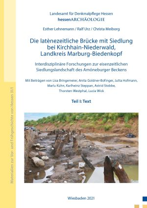
Die latènezeitliche Brücke mit Siedlung bei Kirchhain-Niederwald, Landkreis Marburg-Biedenkopf: Interdisziplinäre Forschungen zur eisenzeitlichen Siedlungslandschaft des Amöneburger Beckens
Between 2008 and 2012 hessenARCHÄOLOGIE uncovered a spectacular site of the later Iron Age in the northern Amöneburg Basin near Niederwald – the remains of a 21-metre-long wooden yoke-pile bridge that had served as a river crossing from around the middle of the 3rd to the middle of the 2nd century BC. It proved to be a stroke of luck that in 2011 400 m west of the bridge the remains of a contemporary settlement came to light, whose earliest traces date back to the Hallstatt period. The result of the in-depth interdisciplinary research, funded by the German Research Foundation (DFG), is a meticulous two-volume study that doesn’t just look at the local Iron Age remains, but draws a picture of the Amöneburg Basin during the 1st millennium BC in terms of landscape and settlement history.
Volume 2, s. hier.