How to Cite
License

This work is licensed under a Creative Commons Attribution-ShareAlike 4.0 International License.
Published
Das Siedlungsmuster des Mittelpaläolithikums in Süddeutschland
Eine GIS-gestützte Archäoprognose für Fundstellen in Bayern und Baden-Württemberg
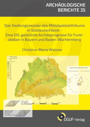
This study investigates the settlement behaviour and land use of Neanderthals based on the location parameters of Middle Palaeolithic cave and open-air sites in southern Germany. Methodologically, the author works with the "Weighted Layer Approach" (WLA) - a variant of multiple linear regression. The model includes the height above sea level, the slope inclination, the orientation and the distance to the nearest watercourse. These parameters are correlated with geological factors such as the distribution of Pleistocene soils, the presence of a limestone mountain range with caves, and the extent of the Pleistocene ice advances. Wiesner uses the transparently weighted data to calculate an archaeoprediction model, which results in detailed prediction maps for the probability of the presence of previously undiscovered Middle Palaeolithic sites in the area under investigation. The work was awarded the German Study Prize for Archaeology by the DGUF in 2021.


